Abstract:
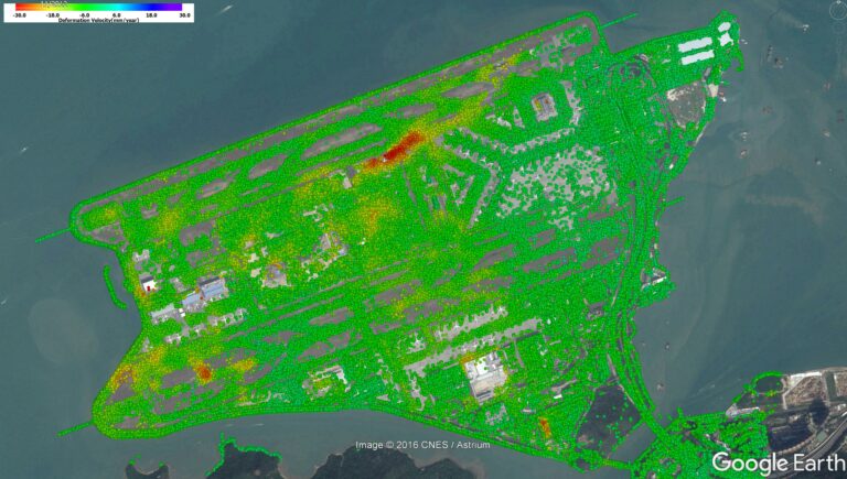
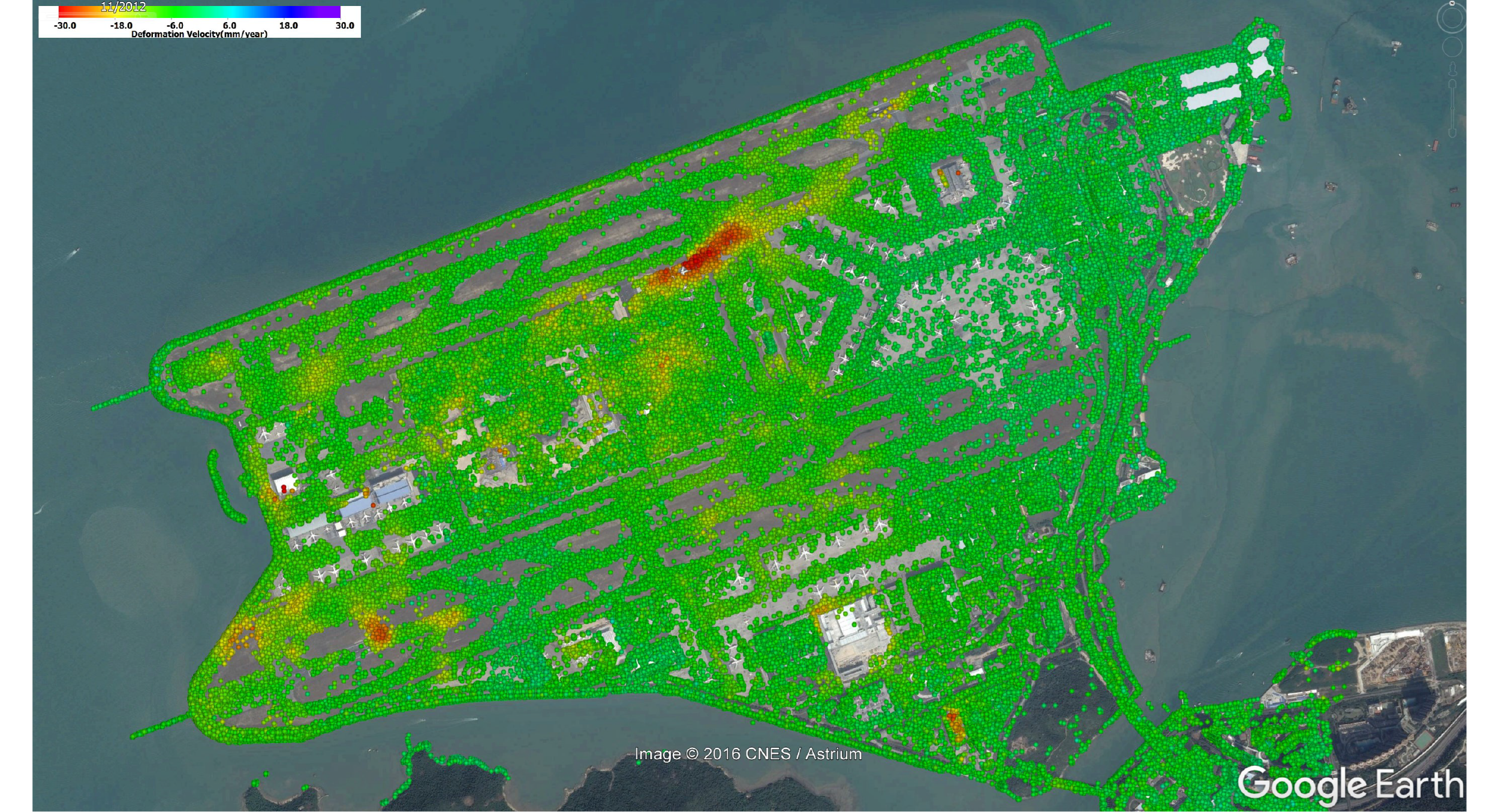
This proposed project aims to customize the hardware and software modules for COSMO-SkyMed data processing with respect to the ground deformation monitoring workflow of the Hong Kong International Airport. We propose to integrate persistent scatterer SAR interferometry (PSInSAR), distributed scatterer SAR interferometry (DSInSAR), and small baseline subsets (SBAS) methods for monitoring the reclamation settlement to the ground deformation monitoring workflow of the Hong Kong International Airport. This integrated method will improve the monitoring capability in complex land surfaces because different land types have different SAR signals. Mean settlement velocity as well as time-series settlement will be retrieved monthly using high-resolution (3 m) SAR images.
The deliverables of this project include (i) computer server and workstations with the customized integrated software system to process COSMO-SkyMed images; (ii) the report generation software modules; (iii) Monthly monitoring results of different land types on the airport platform during the project period (totally 96 reports); (iv) training materials and technical documents. These deliverables will establish a long-term settlement archives for the better management and maintenance of reclamation lands.
Problem to be solved:
Settlement monitoring of reclamation lands
Applications:
Ground subsidence monitoring and urban infrastructure health monitoring
Target Users:
Government departments, universities, and companies

Uniqueness and Competitive Advantages:
The proposed system provides a long-term and large-scale monitoring strategy for reclamation lands.
